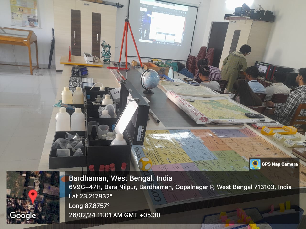
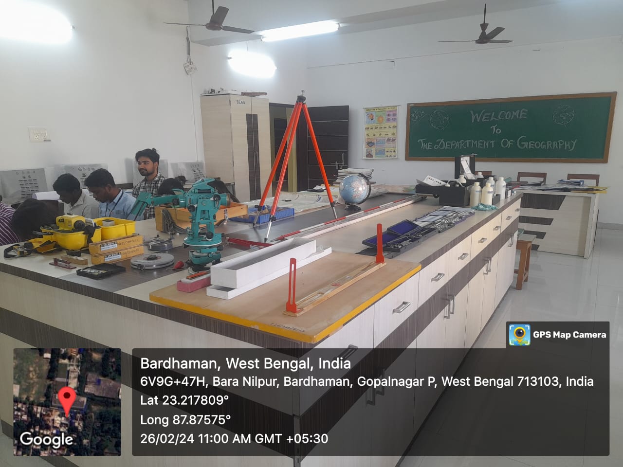
The Geography Laboratory serves as an essential hub for the pedagogical exploration of Physical Geography, focusing on disciplines such as Geomorphology, Climatology, and Soil & Bio-Geography. It is meticulously outfitted with an array of educational resources including topographical maps, aerial photography, and satellite imagery, all meticulously curated for landscape survey and analysis purposes. Additionally, the laboratory houses an extensive collection of geomorphological models and maps essential for comprehending diverse theoretical concepts.
A notable feature of the laboratory is its comprehensive assortment of mineral specimens, metallic ores, rocks, and rock-forming minerals, providing tangible examples crucial for practical study and identification. In support of meteorological investigations, the laboratory is equipped with essential apparatus such as rain gauges, thermometers, barometers, hygrometers, and a Palintest SKW500 soil testing kit, along with a pH meter and other ancillary equipment.
Furthermore, the Remote Sensing and GIS Laboratory facilitates advanced research utilizing cutting-edge techniques in remote sensing and geographic information systems. It boasts specialized software for remote sensing, digital image analysis, and GIS applications, enhancing capabilities for spatial analysis and visualization. The laboratory is furnished with handheld Garmin GPS units for precise location determination in terms of latitude, longitude, and altitude. A Mirror Stereoscope is also available for viewing stereoscopic pairs of images, facilitating three-dimensional visual interpretation.
In support of cartographic studies, the laboratory is equipped with precision instruments including a dumpy level, prismatic compass, theodolite, and supplementary tools such as ranging rods, staffs, ground pins, and measuring tape. Additionally, it features instruments like the Abney level, clinometer, and planimeter, essential for accurate measurement and mapping tasks.
 |
 |


