
About EDUSAT
To promote distance learning across India, the Indian Space Research Organisation (ISRO), under the Government of India, launched a dedicated communication satellite named EDUSAT in 2004. This satellite was specifically designed to support educational initiatives and has since played a vital role in various developmental and educational applications.
Launched in 2004 by the Indian Space Research Organisation (ISRO), EDUSAT was India’s first satellite dedicated exclusively to education, aimed at promoting distance learning and bridging the digital divide across the country. It has played a key role in delivering tele-education at various levels—school, undergraduate, and postgraduate—through collaborations with universities, government departments, and educational institutions. Beyond education, EDUSAT supports telemedicine, Village Resource Centres (VRCs), mobile satellite services, disaster management, and educational television broadcasts, especially benefiting rural and remote communities by providing access to vital services such as agricultural information, healthcare guidance, and emergency communication.
Objectives of the Program:
- Enhance Professional Skills:
Provide individuals with in-depth knowledge and practical skills in Remote Sensing (RS) and Geoinformation Science (GIS) to support their career advancement. - Certificate-Level Learning:
Offer a structured learning experience that combines theoretical foundations with independent study and hands-on project work. - Flexible Learning Pathway:
Allow students the flexibility to quickly gain RS and GIS expertise and certifications that are relevant to current industry and academic needs. - Encourage Independent Learning:
Empower learners through a balanced approach of formal coursework and guided self-study to develop a deeper understanding of RS and GIS concepts. - Practical Experience in Cloud Environment:
Provide opportunities for laboratory-based practical sessions and experiments within a cloud computing environment, simulating real-world applications and technologies.
The IIRS outreach programme is being conducted through following two major modes:
- Live and Interactive classroom sessions (also known as EDUSAT)
- E-learning based online courses.
The live and interactive mode of distance learning is through Internet and indigenous developed e-class platform (https://eclass.iirs.gov.in).
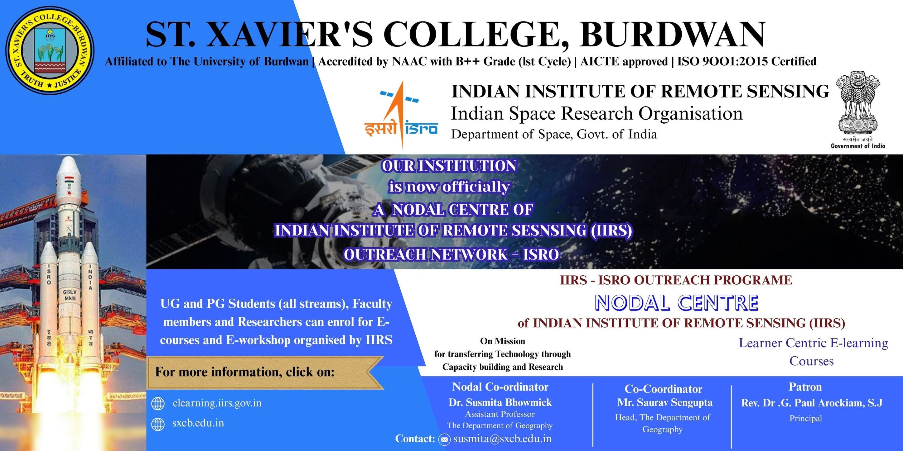
St. Xavier’s College, Burdwan – IIRS Outreach Nodal Centre
St. Xavier’s College, Burdwan is officially registered as a Nodal Centre for the Outreach Programmes of the Indian Institute of Remote Sensing (IIRS), a unit of the Indian Space Research Organisation (ISRO), Department of Space, Government of India. As part of this collaboration, the college offers FREE online courses focused on satellite-based technologies. These programs aim to develop skilled students and professionals in the fields of Remote Sensing, Geo-informatics, and Global Navigation Satellite System (GNSS) technologies. The courses cover a wide range of applications including natural resource monitoring, environmental studies, and disaster management, providing participants with both theoretical knowledge and practical insights into geospatial technology and its real-world applications.
Advantages of the Program:
- Free Virtual Sessions:
The program is delivered entirely online at no cost, making quality education in Remote Sensing and GIS accessible to a wide audience. - Expert-Led Instruction:
Sessions are conducted by experienced scientists, professors, and professionals from the Indian Institute of Remote Sensing (IIRS), ensuring participants receive expert knowledge and insights. - E-Certificate upon Completion:
Participants receive an E-Certificate upon successful completion of the course, provided they maintain at least 70% attendance and pass an online examination (for applicable courses). - Flexible Learning Environment:
The virtual format allows participants to learn at their own pace and convenience, making it ideal for working professionals and students. - Access to Recorded Lectures:
Participants can access recorded sessions, enabling them to review and reinforce their understanding at any time during the course duration. - Networking Opportunities:
Participants have the chance to connect with professionals, researchers, and peers from across India, building a network in the geospatial field. - Recognition by Government and Academic Institutions:
Certificates and training from IIRS are widely recognized by academic institutions and government organizations, enhancing career prospects.
164th IIRS Outreach Programme
165th IIRS Outreach Programme
166th IIRS Outreach Programme
169th IIRS Outreach Programme
170th IIRS Outreach Programme
173th IIRS Outreach Programme
176th IIRS Outreach Programme
1047th IIRS Outreach Programme
1048th IIRS Outreach Programme
1049th IIRS Outreach Programme
1050th IIRS Outreach Programme
For more Queries Contact:
Programme Co-ordinator:
Dr. Susmita Bhowmick, Assistant Professor, The Department of Geography
Mail Id: susmita@sxcb.edu.in

Assistant Co-coordinator:
Mr. Saurav Sengupta, Assistant Professor and Head, The Department of Geography.

Important Links:
https://elearning.iirs.gov.in/
https://elearning.iirs.gov.in/edusatregistration/student
Guidelines for Participant’s Registration:
https://elearning.iirs.gov.in/edusatregistration/assets/guidelines_for_participants.pdf
Course Calender: https://www.iirs.gov.in/iirs-outreach-course-calendar